How to drive the unpaved road to the lookout at Smith Peak in California
Smith Peak is a high mountain peak at an elevation of 2.340m (7,677ft) above sea level, located in Plumas County, in the U.S. state of California.
Where is Smith Peak?
The peak is located north of Portola, in the northeastern part of California, within the Plumas National Forest.
Why is there a road to Smith Peak?
At the summit there’s a fire lookout. Originally established as a fire lookout point around 1910, Smith Peak saw its first permanent wooden tower erected in 1931. Over the decades, infrastructure expanded with a metal tower and garage in 1952. Fire severely damaged the historic site during the 1987 Stanislaus Complex Fire, leading to a complete rebuild in 1988—ensuring the lookout remains actively staffed each summer today. The summit provides great views of the Sierra’s. You can see 50+ miles in every direction on a clear day.
Is the road to Smith Peak unpaved?
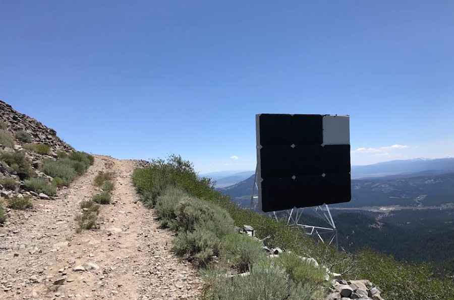
The road to the summit is totally unpaved and pretty rocky. The higher you go the worse it gets! Highly suggested a 4-wheel drive vehicle. Towards the peak, vehicles or OHVs are not allowed past a certain point, so you have to hike just a little.
How long is the road to Smith Peak?
Starting from Willow Creek Road, the road to the summit is 2 km long. Over this distance, the elevation gain is 190m and the average gradient is 9.5%.
Is the road to Smith Peak open year-round?
Set high in the Sierra Nevada, the road is not plowed in winters.
Pic: Wez So_N_So