How to get by car to the lookout at Martis Peak in California?
Martis Peak is a high mountain peak at an elevation of 2,652 m (8,700 ft) above sea level, located in Placer County, in the U.S. state of California. The drive provides amazing views from North Lake Tahoe and the surrounding Truckee region.
Where is Martis Peak?
The peak is located north of Lake Tahoe, in the northern part of California near the Nevada border, within the Tahoe National Forest.
What’s at the summit of Martis Peak?
Perched just below the summit, there is a fire lookout, originally constructed in 1914. It is staffed five days a week during the fire season for spotting fires. The views from the top are among the most spectacular in the Tahoe Peaks, offering a stunning panorama from distant Lassen Peak to the north, nearby Castle Peak to the northwest, and the peaks surrounding Lake Tahoe. You’ll enjoy superb views of South Lake Tahoe and the Truckee area directly below.
Is the road to Martis Peak paved?
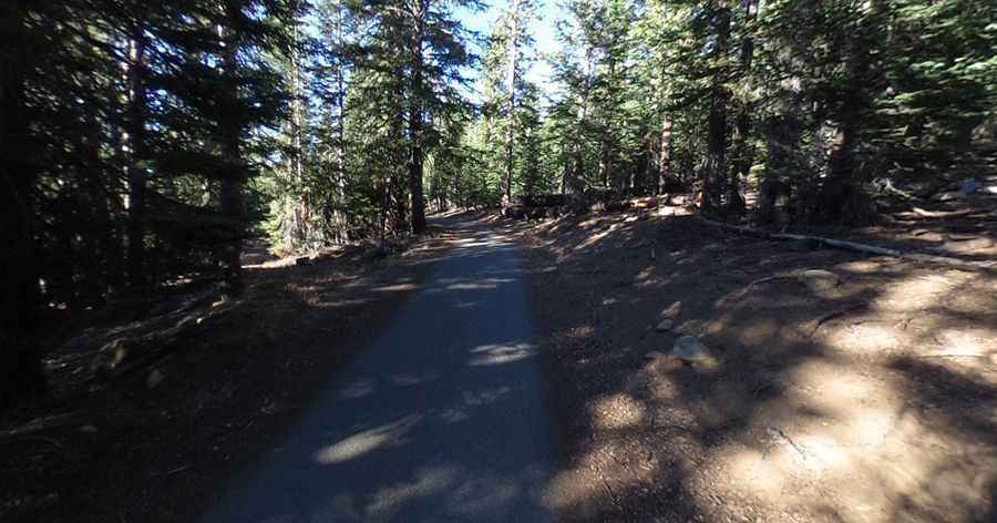
The road to the summit is called Martis Peak Road. It’s mostly paved for a few miles, and it’s a partial dirt road near its end. It’s curvy and narrow, so if another car is coming, you’ll have to find a spot to pull over.
How long is the road to Martis Peak?
Starting at Highway 267, the road to the summit is 6.27 km (3.9 miles) long.
Is the road to Martis Peak open in winter?
Set high in the Sierra Nevada mountain range, the road is closed in winter. During the winter, there may be a closed gate, but the road is open for hiking.
Pic: KC Green