How to drive the unpaved road to the lookout at Little Bald Mountain in California
Little Bald Mountain is a high mountain peak at an elevation of 2.189m (7,182ft) above sea level, located in Placer County, in the U.S. state of California.
Where is Little Bald Mountain?
The peak, also known as Duncan Peak, is located in the northeastern part of California, within the Tahoe National Forest.
Why is there a road to Little Bald Mountain?
At the summit there’s a fire lookout tower, known as Duncan Peak Fire lookout, built in 1943. It is actively used by the U.S. Forest Service during the hot, dry summers.
Is the road to Little Bald Mountain unpaved?
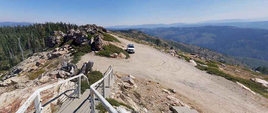
The road to the summit is totally unpaved in pretty good shape. It’s called Robinson Flat Road. High-clearance vehicles are required. The final 0.9 miles are rougher.
How long is the road to Little Bald Mountain?
Starting from the paved Mosquito Ridge Road, the road to the summit is 8.69km (5.4 miles) long. Over this distance, the elevation gain is 384m (1,263 ft) and the average gradient is 4.41%.
Is the road to Little Bald Mountain open year-round?
Pic: Chris L