How to get by car to Telegraph Peak in White Pine County?
Telegraph Peak is a high mountain peak at an elevation of 2,861m (9,386ft) above sea level, located in White Pine County, in the U.S. state of Nevada.
Where is Telegraph Peak?
There are several peaks named Telegraph, even in Nevada, so it’s easy to get confused. This peak is located north of Ely, in the central-eastern part of Nevada, near the Utah border.
Is the road to Telegraph Peak in White Pine County unpaved?
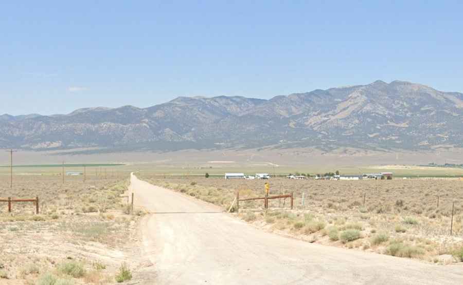
An unpaved road leads to the eastern side of the summit. It’s narrow, with steep parts and loose gravel. A 4x4 vehicle is recommended.
How long is the road to Telegraph Peak in White Pine County?
Starting from the paved US-93, the road to the summit is 18.1 km (11.3 miles) long. Over this distance, the elevation gain is 1,046 m and the average gradient is 5.77%.
Is the road to Telegraph Peak in White Pine County open in winter?
Set high in the Egan Range, the summit receives snowfalls in the winter months.