Virginia Peak
Virginia Peak is a high mountain peak at an elevation of 2.551m (8,370ft) above the sea level, located in Washoe County, in the U.S. state of Nevada.
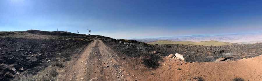
The peak is located within the Pah Rah Range. The road to the top is called Microwave Road. It’s rough, tippy and bumpy at times. The road is usually impassable in winters. Great trail for experienced wheelers. The trail is narrow with few places for passing so meeting someone can be a challenge. The road is only difficult when muddy. Rocky parts on spots of the road may give one pause to use low-clearance 2WD. A National Weather Service NEXRAD doppler weather radar station is located on the summit. The road is periodically graded and often any vehicle can drive up there. Wet conditions may make for tough driving along the muddy road.
Pic: Scott E. Mayer