Road Trip Guide: Conquering Genoa Peak in Nevada
Genoa Peak is a high mountain peak at an elevation of 2,745m (9,005ft) above sea level, located in Douglas County in the U.S. state of Nevada. Some parts of the road can be tricky.
Where is Genoa Peak?
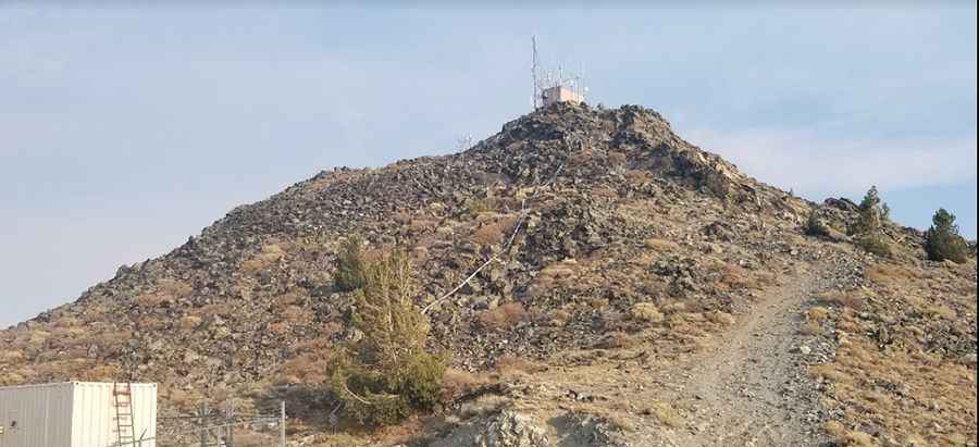
The peak is situated on the east side of Lake Tahoe, in the northwestern part of Nevada, within the Toiyabe National Forest. The summit is equipped with electrical equipment.
Is the Road to Genoa Peak Unpaved?
The road to the summit is entirely unpaved and very bumpy, with many large stones. It is called Genoa Peak Road (14N32). The trail is narrow, with few places to pass, making it challenging to meet oncoming vehicles. It has plenty of large rocks, deep ruts, and tight corners. For safety, always drive with someone else, as it is easy to get lost.
How Long is the Road to Genoa Peak?
The road to the summit is 19 km (11.8 miles) long, running north-south from the paved Highway 50 (Lincoln Highway), south of Spooner Summit, to the paved NV-207 (Kingsbury Grade Road) east of Daggett Pass. The southern portion of Genoa Peak Road is more difficult and rough compared to the northern entry.
Can I Drive My Vehicle to Genoa Peak?
To drive this road, you need a high-clearance 4x4 vehicle due to several steep sections with large, loose rocks. The trail is very steep and offers great views of Lake Tahoe and the Carson Valley.
Pic: Vanity