How to drive the 15 hairpins of Oreana Peak Road in Nevada?
Oreana Peak is a high mountain peak at an elevation of 2,833m (9,294ft) above sea level, located in Douglas County, Nevada. Situated in the Pine Nut Mountains, near the California border, the access to the summit via a technical unpaved track is a demanding high-altitude drive requiring specialized 4x4 equipment and mechanical self-sufficiency.
| Road facts: Oreana Peak (Pine Nut Mountains) | |
|---|---|
| Location | Douglas County, Nevada (USA) |
| Elevation | 2,833 m (9,294 ft) |
| Length | 14.8 miles (23.8 km) from US-395 |
| Technical Features | 15 hairpin turns / Single-lane shelf road |
| Surface | Unpaved (Primitive desert soil) |
Where is Oreana Peak?
The peak is located in the northwestern part of Nevada, within the Pine Nut Mountains. Logistically, it serves as a massive vantage point near the California border; on clear days, technical visibility exceeds 100 miles, covering the Sierra Nevada range to the west and the high desert peaks of Nevada to the east.
Why is it called Oreana Peak?
Technically, the peak's name originates from the mineral deposits of ore found in the Pine Nut range. Historically, this meant the creation of primitive access trails for mining exploration, which today form the basis of the rugged and unpaved 14.8-mile route to the summit.
Is the road to Oreana Peak unpaved?
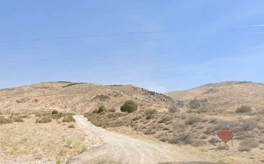
Yes, the road to the summit is totally unpaved and classified as a primitive desert road. A robust 4WD vehicle is mandatory. The roadbed is exceptionally narrow, often strictly single-lane with no room to pass. Logistically, encountering another vehicle on this 14.8-mile stretch is a high-risk scenario, as there are very few pullouts or spots to safely move off the main track.
How long is the road to Oreana Peak?
Starting from the paved US-395 highway, the drive to the summit spans 14.8 miles (23.8 km). Technically, the most demanding sector involves a series of 15 sharp hairpin turns that climb through the Pine Nut ridges. The sustained verticality at nearly 3,000 meters puts a significant thermal load on the vehicle's cooling system in the arid Nevada climate.
When is the best time to drive the road to Oreana Peak?
Set high in the Pine Nut Mountains, the road is typically impassable during winter months due to snow. Logistically, the spring rainy season makes the primitive surface treacherous and slippery. During the summer, the environment is extremely hot and dry, which can lead to engine overheating. Safety protocols mandate checking weather forecasts for high-intensity winds on the ridges before starting the 14.8-mile ascent.
What are the mechanical requirements for the Oreana Peak descent?
Technically, the 14.8-mile descent requires the exclusive use of engine braking to prevent brake fade on the steep, unpaved ramps. The primitive road surface, combined with the 15 hairpins, demands tires with reinforced sidewalls to resist punctures from sharp desert rocks. Given the isolation of Douglas County, carrying auxiliary fuel and emergency supplies is a logistical necessity for any transit above 2,800 meters.