How to drive the unpaved road to Bald Mountain in Douglas County?
Bald Mountain is a high mountain peak at an elevation of 2.814m (9,232ft) above sea level, located in southern Douglas County, in the U.S. state of Nevada.
Where is Bald Mountain?
Located in the northwestern part of Nevada, from the summit, there are tremendous views of the Sierra Nevada to the west, as well as Topaz Lake to the south.
Is the road to Bald Mountain unpaved?
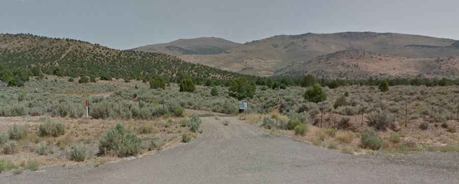
The road to the summit is totally unpaved. The road is very rough and has loose rock in some places. There can be some small mud holes on the trail that are usually just deep enough to reach the wheel rim. The road is 4WD, although 2WD can make it, preferably use a vehicle with some higher clearance. There are a lot of rocks on the road, and some ditches and tricky areas.
How long is the road to Bald Mountain?
Starting from the paved Upper Colony Road, the road to the summit is 15.28km (9.5 miles) long. Over this distance, the elevation gain is 1499m (4,921 ft) and the average gradient is 9.81%.
Is the road to Bald Mountain open year-round?
Set high in the Pine Nut Mountains, the road is not plowed in winters. Keep an eye on the weather for thunderstorms and lightning.