The breathtaking road to Big Indian Mountain in Nevada
Big Indian Mountain is a high mountain pass at an elevation of 2,987m (9,799ft) above sea level, located in Mineral County, in the U.S. state of Nevada. It's one of the highest roads in Nevada.
Where is Big Indian Mountain?
The pass is located near Hawthorne, north of Cory Peak, in the western part of Nevada.
Is the road to Big Indian Mountain unpaved?
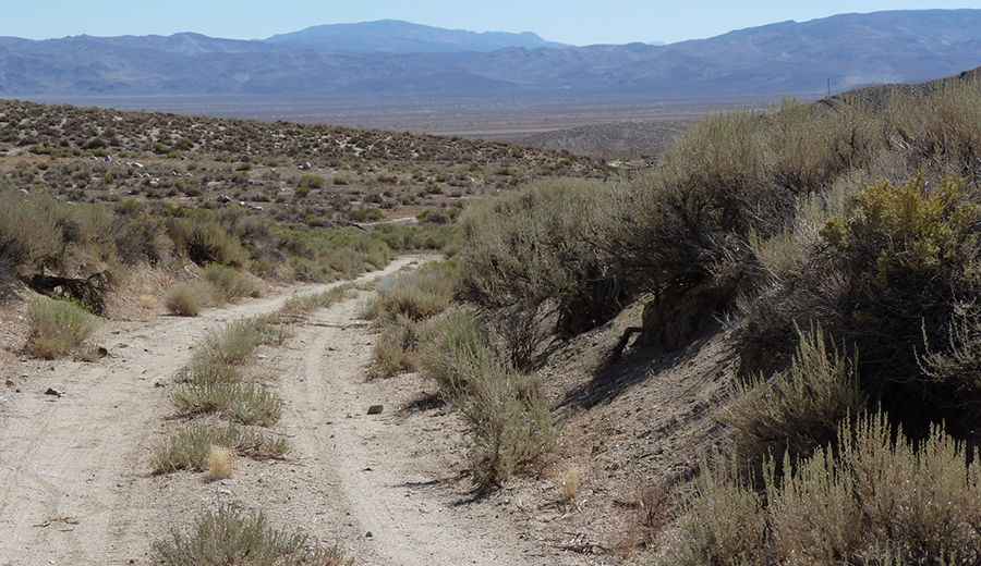
The road to the summit is totally unpaved. It’s called Lucky Boy Pass Road. The trail is narrow with few places for passing, so meeting someone can be a challenge. In order to drive this road up, you need a 4x4 vehicle with high clearance.
Is the road to Big Indian Mountain open in winter?
Set high in the Wassuk Range, this road is usually impassable from late October through late June or early July (depending on snow).
How long is the road to Big Indian Mountain?
The road to the summit is very steep, hitting a 16.5% maximum gradient through some of the ramps. Starting at the paved State Road 359, the ascent is 20.11 km (12.5 miles) long. Over this distance, the elevation gain is 1,502 meters. The average gradient is 7.46%.
Pic: Steven James