How to drive the steep road to Spruce Mountain in Nevada?
Spruce Mountain is a high mountain peak at an elevation of 3.129m (10,267ft) above sea level, located in Elko County, in the U.S. state of Nevada. It's one of the highest roads of Nevada.
Where is Spruce Mountain?
The peak is located in the northeastern part of Nevada, within the Humboldt-Toiyabe National Forest.
Why is there a road to Spruce Mountain?
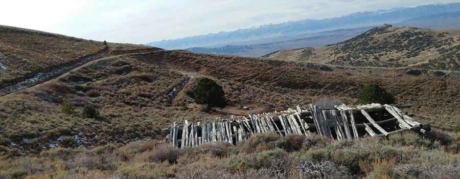
The Nevada Department of Transportation has a radio / communication facility at the mountaintop. The ghost town of Sprucemont is located on the lower west side of the mountain, where abandoned buildings stand among piles of mining debris.
Is the road to Spruce Mountain unpaved?
The road to the summit is totally unpaved. It’s called Bl 1122. It has narrow parts, very steep sections, and 6 hairpin turns. Although the road is not too rough, a 4WD vehicle with high clearance is recommended.
How long is the road to Spruce Mountain?
Starting from Road 1526, the road to the summit is 2.41km (1.5 miles) long. Over this distance, the elevation gain is 473m (1,552 ft) and the average gradient is 19.62%.
Is the road to Spruce Mountain open year-round?
Set high at the southwestern end of the Pequop Range, the road is not plowed in winters.
Pic: Dan Hanson