How to get by car to Cory Peak in Nevada?
Cory Peak is a high mountain peak at an elevation of 3,201m (10,501ft) above sea level, located in Mineral County, in the U.S. state of Nevada. It's one of the highest roads in Nevada.
Where is Cory Peak?
The peak, also known as Corey Peak, Corys Peak, Mount Corey, or Mount Hull, is located south of Big Indian Mountain, about 10 miles west-southwest of Hawthorne in the western part of Nevada.
Why is it called Cory Peak?
The peak was named after James Manning Cory (1830–1897), a businessperson in the mining industry.
How long is the road to Cory Peak?
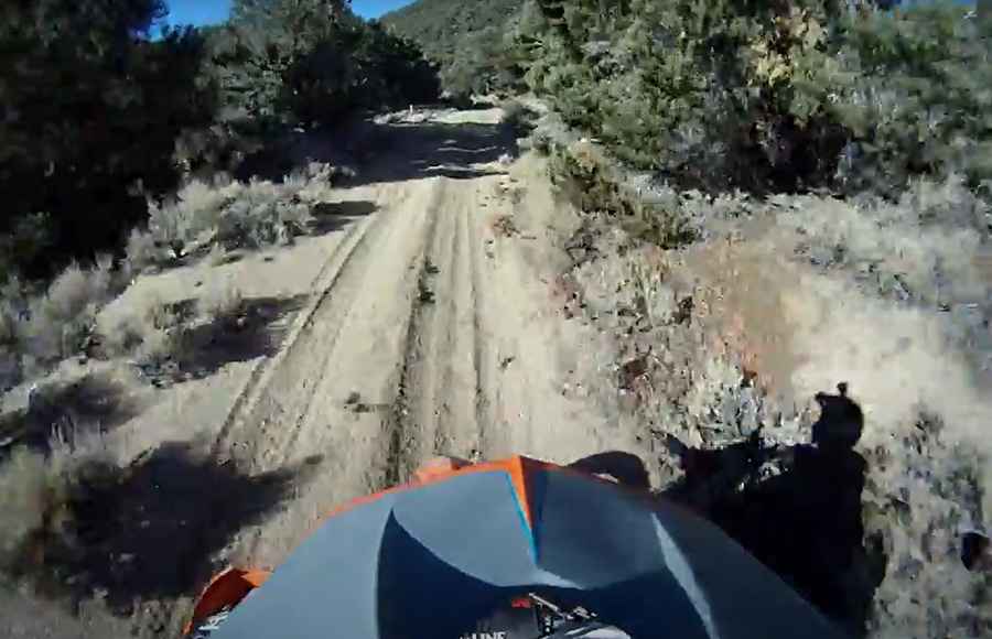
The road to the summit is totally unpaved. It’s a pretty challenging drive, featuring 7 sharp hairpin turns. A 4WD motor vehicle can reach within a few hundred feet of the summit. Starting from Corey Peak Summit Road, the ascent is 2.5 miles (4.02 km) long.
Is the road to Cory Peak open in winter?
Set high in the Wassuk Range, this road is usually impassable from late October through late June or early July (depending on snow).
Pic&video: mike mellinger