Greenie Peak is a truly outstanding 4x4 adventure in New Mexico
Greenie Peak is a high mountain peak at an elevation of 3,432m (11,259ft) above sea level, located in Taos County, in the US state of New Mexico. It’s one of the highest roads of New Mexico. The road provides spectacular views of snow-capped mountains.
How long is the road to Greenie Peak?
Starting from Lagunita Saddle, the road to the summit is 3.7 km (2.29 miles) long. Over this distance, the elevation gain is 218 m, and the average gradient is 5.89%. It's pretty busy on weekends and holiday seasons.
Is the road to Greenie Peak difficult?
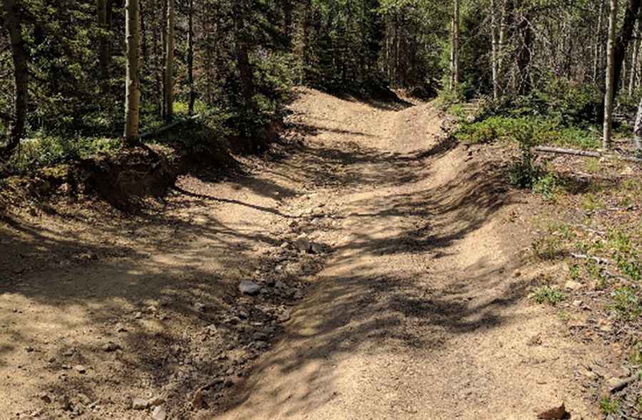
The road to the summit is totally unpaved and not well maintained. It is rocky and extremely rough, so ride with caution. It is narrow with few places for passing, so meeting someone can be a challenge. During the summer, the road is very rough and has loose rock in some places. In the winter, the road is not plowed. The switchbacks are very tight. The road goes all the way to the summit. To drive this road, you need a 4x4 vehicle. There can be some small mud holes on the trail that are usually just deep enough to reach the wheel rim.
Is the road to Greenie Peak open in winter?
Tucked away in the Sangre de Cristo Mountains of Northern New Mexico, the road is totally impassable in winters, often until July 4th or later. Keep an eye on the weather for thunderstorms and lightning.
Pic: Rosy Morris