How to drive the unpaved road to Ocate Mesa in New Mexico?
Ocate Mesa is a high mountain peak at an elevation of 3.157m (10,357ft) above sea level, located in the U.S. state of New Mexico. It’s one of the highest roads of New Mexico.
Where is Ocate Mesa?
The peak is located on the boundary between Colfax and Mora counties, in the northern part of New Mexico.
Is the road to Ocate Mesa unpaved?
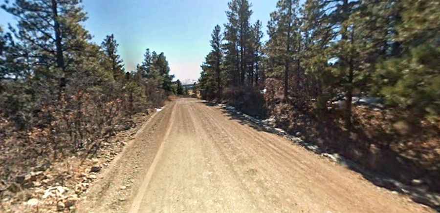
The desolate road to the summit is totally unpaved. It comprises narrow sections and steep parts. You shouldn’t go down this road without 4WD.
How long is the road to Ocate Mesa?
Starting from NM-120 Road, the road to the summit is 4.34km (2.7 miles) long. Over this distance, the elevation gain is 938 ft (285m) and the average gradient is 6.56%.
Is the road to Ocate Mesa open year-round?
Set high in the Sangre de Cristo Mountains, the road is not plowed in winters. It’s usually impassable from November to June.