Driving the epic unpaved road to Baldy Mountain in Colfax County
Baldy Mountain is a high mountain peak at an elevation of 3.714m (12,185ft) above sea level, located in Colfax County, in the U.S. state of New Mexico. It’s one of the highest roads of New Mexico.
Why was the road to Baldy Mountain built?
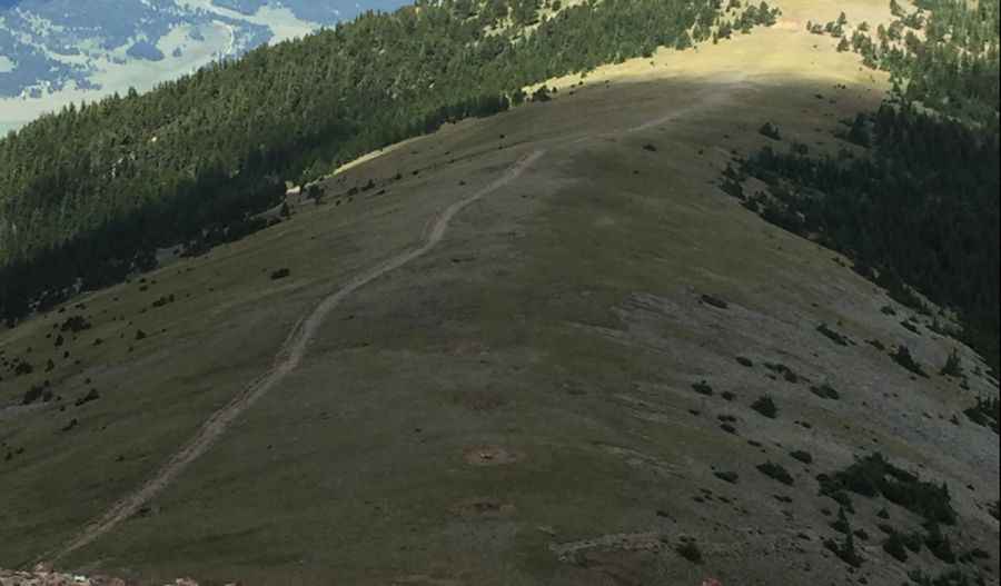
Set high within the Cimarron Range of the Sangre de Cristo Mountains, the road leading to the peak — known by several names such as Baldy Peak, Mount Baldy, and Old Baldy — was an old mining road, due to the presence of copper, gold, and silver in the area. The Mystic Lode copper mine ruins can be found near the summit.
How long is the road to Baldy Mountain?
Beginning from the paved NM-38 road, just north of Elizabethtown, this unpaved mountainous trail is 12.8 km (7.95 miles) long. Expect an elevation gain of 1081 m with an average gradient of 8.44%.
Is the road to Baldy Mountain open?
The road is usually impassable in winters due to the snow, often keeping it closed till July 4th or even later. Narrow and winding, the trail requires careful maneuvering, especially with its limited passing points. For those daring enough, 17 hairpin turns await. Ensure you're equipped with a 4x4 high-clearance vehicle. And remember to watch out for the monsoonal wrath, as the region frequently witnesses intense rain, hail, and lightning strikes.
Pic: Sean Browning