How to drive the unpaved road to Sheriff Reservoir in Colorado?
Sheriff Reservoir is a high mountain reservoir at an elevation of 2.987m (9,799ft) above sea level, located in Rio Blanco County, in the US state of Colorado.
Where is the Sheriff Reservoir?
The reservoir, surrounded by dense spruce and fir forest with meadows, is located in the northwestern part of Colorado, within the White River National Forest. There is no cell service in the area, so come prepared with maps, supplies, and a full tank of gas.
Is the road to Sheriff Reservoir unpaved?
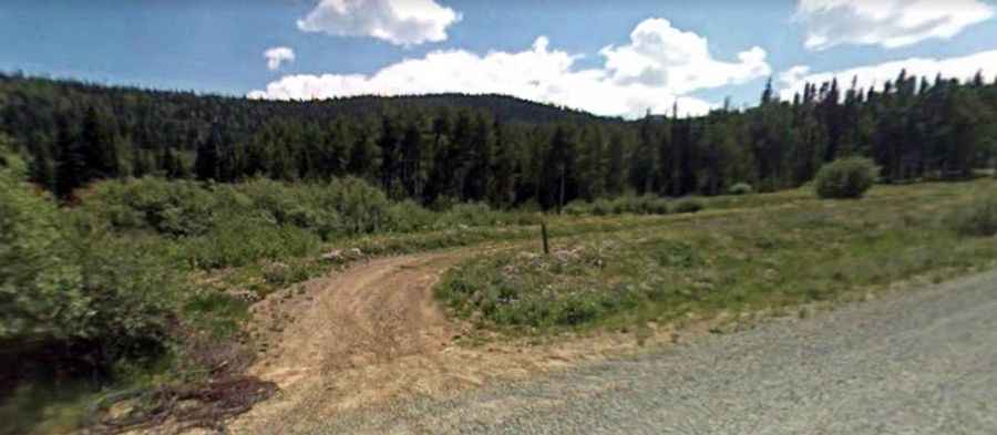
The road to the reservoir is totally unpaved. It’s called Forest Road 959. The drive in requires a vehicle with decent clearance, as the final stretch of road can be rough and rutted, especially after rain.
How long is the road to Sheriff Reservoir?
Starting from County Road 8, the road to the summit is 5.79km (3.6 miles) long. Over this distance, the elevation gain is 195m (640 ft) and the average gradient is 3.36%.
Is the road to Sheriff Reservoir open year-round?
Set high in the Rocky Mountains, the road is not plowed in winters. It’s typically reachable by vehicle mid-June through mid-October. Keep an eye on the weather for thunderstorms and lightning.