How to drive the unpaved road to Trappers Lake in Colorado?
Trappers Lake is a high mountain lake at an elevation of 2.987m (9,799ft) above sea level, located in Garfield County, in the US state of Colorado.
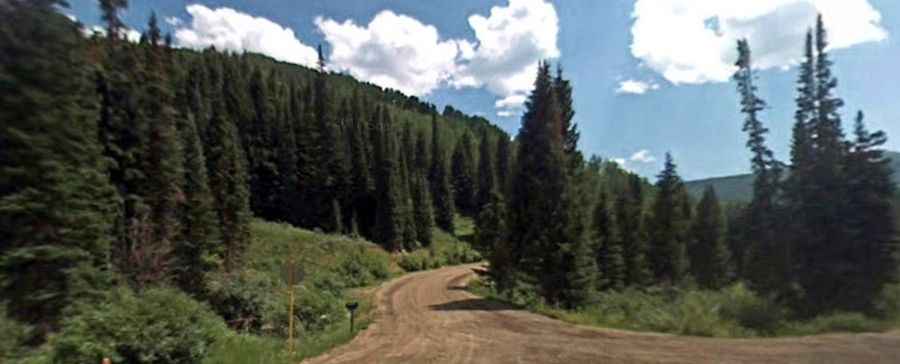
| Road facts: Trappers Lake Road | |
|---|---|
| Location | Garfield County, Colorado, USA |
| Elevation | 2,987m (9,799ft) |
| Length | 14.16 km (8.8 miles) |
| Average Gradient | 2.78% (Elevation gain: 395m / 1,296ft) |
| Surface | Unpaved / Gravel track |
Where is Trappers Lake?
Trappers Lake, the second-largest natural lake in Colorado after Grand Lake, is located within the White River National Forest, in the northwestern part of Colorado.
Is the road to Trappers Lake unpaved?
The road to the lake is totally unpaved. It’s called Trappers Lake Road. Ensure your spare tire is in good condition and we advise you to carry an automatic air pump and tire repair kit. Ensure your gas tank is full.
How long is the road to Trappers Lake?
Starting from County Road 8, the road to the summit is 14.16km (8.8 miles) long. Over this distance, the elevation gain is 395m (1,296 ft) and the average gradient is 2.78%.
Is the road to Trappers Lake open year-round?
Set high in the Flat Tops, the road is not plowed in winters. It should open by early June each year. Keep an eye on the weather for thunderstorms and lightning.