How to drive the unpaved road to UM Pass in Utah
UM Pass is a high mountain pass at an elevation of 3.208m (10,524ft) above sea level, located in Sevier County, in the U.S. state of Utah. It’s one of the highest roads of Utah.
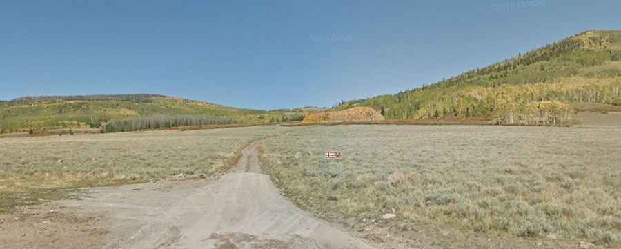
Where is UM Pass?
The pass is located in the central part of Utah, within the Fishlake National Forest.
Why is it called UM Pass?
The pass was named for the United Moroni Order, a group of Mormon stockmen who worked in the area as a united group during pioneer days.
Is the road to UM Pass unpaved?
The road to the summit is totally unpaved. It’s called Forest Road 042 (UM Pass Road). A 4x4 vehicle is recommended.
How long is the road to UM Pass?
Starting from the paved Forest Road 640 (FR640), the road to the summit is 4.02km (2.5 miles) long. Over this distance, the elevation gain is 337m (1,106 ft) and the average gradient is 8.38%.
Is the road to UM Pass open year-round?
Set high in the Fish Lake Plateau, the road is not plowed in winters.