Driving the unpaved FSR 0040 to Trail Mountain in Utah
Trail Mountain is a high mountain peak at an elevation of 3,018m (9,901ft) above sea level, located in Emery County, in the US state of Utah.
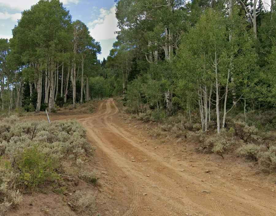
| Road facts: Trail Mountain (FSR 0040) | |
|---|---|
| Location | Emery County, Utah (USA) |
| Elevation | 3,018 m (9,901 ft) |
| Length from Cottonwood Canyon | 3.7 km (2.3 miles) |
| Average Gradient | 5.9% |
| Surface | Unpaved / Dirt and Silt |
How long is the road to Trail Mountain?
Situated within the Manti-La Sal National Forest, the road to the summit is called Forest Service Road 0040. Starting from the Cottonwood Canyon Road, the road is 2.3-mile long, with vertical gain of 219 meters (719 ft) and an average gradient of 5.9%.
Is the road to Trail Mountain unpaved?
Forest Service Road 0040 is totally unpaved, consisting of a silty soil bed prone to deep longitudinal rutting. A high-clearance 4x4 vehicle is required. The route is isolated with no mechanical services.
Is the road to Trail Mountain open in winter?
Due to its elevation of 9,901ft, the road to Trail Mountain is strictly seasonal. The track is impassable from late November until June due to heavy snow accumulation and drifting.