How to drive the unpaved road to the lookout at Dixie Mountain in California?
Dixie Mountain is a high mountain peak at an elevation of 2.525m (8,284ft) above sea level, located in Lassen County, in the US state of California.
Where is Dixie Mountain?
The peak is located to the west of Frenchman’s Lake, in the northeastern part of California, within the Plumas National Forest.
Why is there a road to Dixie Mountain?
At the summit there’s a lookout built in 1928 The fire lookout tower is no longer used and is boarded up.
Is the road to Dixie Mountain unpaved?
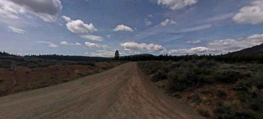
The road to the summit is totally unpaved. It’s called Dixie Mountain Road. The road is rough with rocks and tree debris on the road. You will need a 4x4 with at least 8 inches ground clearance to make it safely.
How long is the road to Dixie Mountain?
Starting from Little Last Chance Creek Road, the road to the summit is 9.33km (5.8 miles) long. Over this distance, the elevation gain is 801m (2,628 ft) and the average gradient is 8.58%.
Is the road to Dixie Mountain open year-round?
Set high in the Sierra Nevada mountains, the road is not plowed in winters.