How to drive the unpaved road to Sunflower Hill in California?
Sunflower Hill is a high mountain pass at an elevation of 2.135m (7,004ft) above sea level, located in Placer County, in the U.S. state of California.
Where is Sunflower Hill?
The pass is located in the northeastern part of California, within the Tahoe National Forest.
Is the road to Sunflower Hill unpaved?
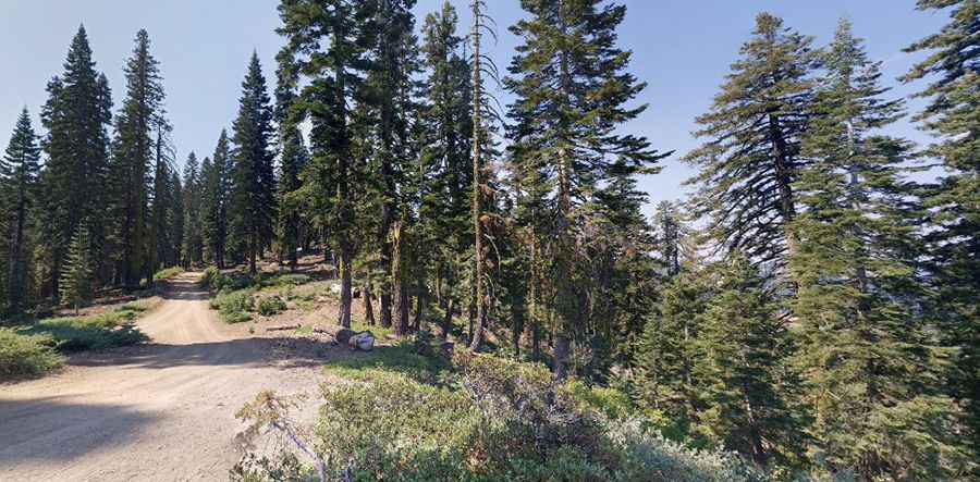
The road to the summit is totally unpaved, mostly fine dirt and gravel. It’s called Foresthill Road (Tahoe National Forest Road #88). It features narrow parts and steep sections. In fair weather you won’t need a 4x4 or a high clearance vehicle.
How long is the road to Sunflower Hill?
The road through the pass is 6.4 miles long, running north-south from Soda Springs Road to Robinsons Flat Campground
Is the road to Sunflower Hill open in winter?
At this elevation, the road is usually impassable in winters.
Pic: Chris L