How to drive the unpaved road to Anderson Mountain in Idaho?
Anderson Mountain is a high mountain peak at an elevation of 2.455m (8,054ft) above sea level, located in Lemhi County, in the U.S. state of Idaho.
Where is Anderson Mountain?
The peak is located in the north-central part of Idaho, near the Montana border, within the Salmon National Forest. It is a former fire lookout site.
Is the road to Anderson Mountain unpaved?
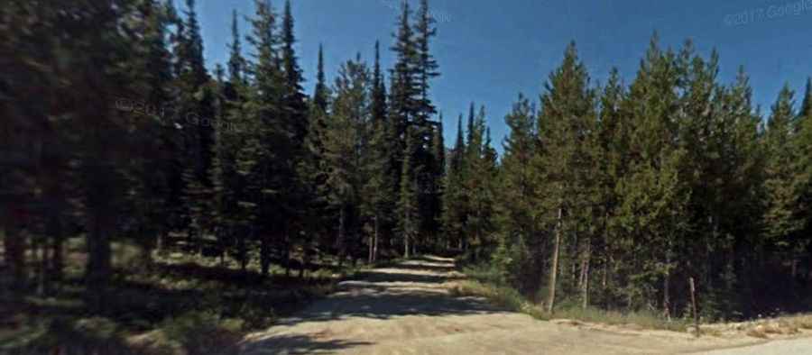
The road to the summit is totally unpaved. It’s called Anderson Mountain Road. This trail is mostly dirt, gravel, and rocks. It is part of the Continental Divide Trail. A 4WD vehicle is recommended.
How long is the road to Anderson Mountain?
Starting from the paved MT-43, near Chief Joseph Pass, the road to the summit is 10.2 km long.
Is the road to Anderson Mountain open year-round?
Set high in the Bitterroot Range, the road is not plowed in winters.