How to drive the unpaved road to Blackhead Peak in Colorado?
Blackhead Peak is a high mountain peak located in Archuleta County, in the U.S. state of Colorado. An abandoned dirt road at the western base tops out at an elevation of 3.301m (10,830ft) above sea level.
Where is Blackhead Peak?
The peak is located to the east of the town of Pagosa Springs in the southwestern part of Colorado, within the San Juan National Forest.
Is the road to Blackhead Peak unpaved?
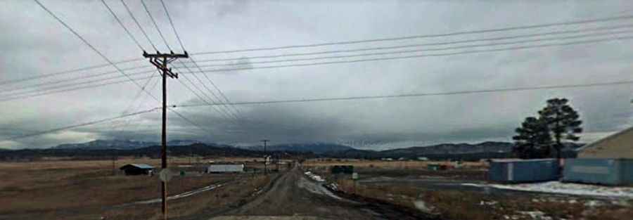
The road is totally unpaved. It’s called Forest Road 24. In dry conditions, most vehicles can drive this road. Only during the last 2-3 miles, the road surface is covered with stones becoming somewhat rough. The upper parts of the road are known as Nipple Mountain Road. Near its end, the road is blocked.
Is the road to Blackhead Peak open year-round?
Set high in the San Juan Mountains, the road is not plowed and totally impassable in winters.