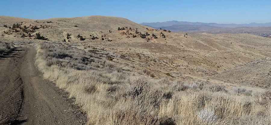
A steep unpaved road to the summit of Peavine Peak in Nevada
Peavine Peak is a high mountain peak at an elevation of 2.517m (8,257ft) above sea level, located in Washoe County, in the U.S. state of Nevada.
Where is Peavine Peak?
The peak is located in the western part of Nevada, near the California border, within the Humboldt-Toiyabe National Forest. The summit is crowned with radio towers and the peak dominates the skyline north of Reno, Nevada.
Is the road to Peavine Peak unpaved?
The road to the summit is totally unpaved. It’s called Peavine Road. It’s a wide and rutted road, a bit rough at places. In dry weather, this road is passable by most two-wheel-drive vehicles. You do not need a 4WD, high clearance vehicle, although it’s recommended.
How long is the road to Peavine Peak?
The road to the summit is very steep. Starting from North Virginia Street, in northwest Reno, the road to the summit is 11.10km (6.9 miles) long. Over this distance, the elevation gain is 917 meters. The average gradient is 8.26%.
Is the road to Peavine Peak open in winter?
Set high in the Peavine Mountains, the road to the summit is usually impassable in winters, from December to March or April. The snow on the summit comes and goes during the winter months. A winter storm may cover the peak from top to bottom, and it will melt a week later.
Pic: Jake Helfrich