How to drive the unpaved road to Benson Ridge in New Mexico
Benson Ridge is a high mountain pass at an elevation of 2.906m (9,534ft) above sea level, located in Otero County, in the U.S. state of New Mexico.
Where is Benson Ridge?
The pass is located south of Cloudcroft, in the southern part of New Mexico, within the Lincoln National Forest.
Is the road to Benson Ridge unpaved?
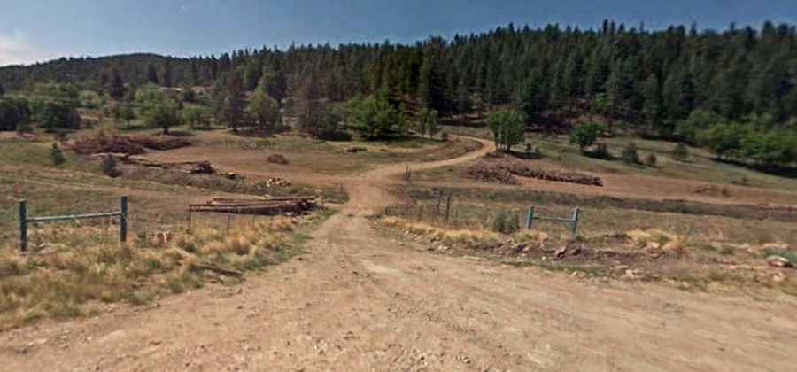
The rough road to the summit is totally unpaved, with rocky parts and steep sections. It’s called Forest 223 Road (Dark Canyon Road). 4x4 access highly recommended.
How long is the road to Benson Ridge?
Starting from the paved Sunspot Highway, the road to the summit is 6.1 km long.
Is the road to Benson Ridge open year-round?
Set high in the Sacramento Mountains, the road is not plowed in winters. During summer months expect sudden and severe lightning, hail, and sleet storms.