How to drive the unpaved road to Helmet Peak in Colorado
Helmet Peak is a high mountain peak at an elevation of 3.481m (11,420ft) above sea level, located in Montezuma County, in the U.S. state of Colorado.
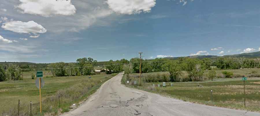
Where is Helmet Peak?
The peak is located north of Hesperus, in the southwestern part of Colorado, within the San Juan National Forest.
Is the road to Helmet Peak unpaved?
The road to the summit is mostly unpaved. It’s called Road 322. It features narrow parts, steep sections and 9 hairpin turns near the end. A 4x4 vehicle is recommended.
Is the road to Helmet Peak open year-round?
Set high in the San Juan Mountains, the road is not plowed in winters.
How long is the road to Helmet Peak?
Starting from the paved US-160, the road to the summit is 17.7km (11.0 miles) long. Over this distance, the elevation gain is 1118m (3,671 ft) and the average gradient is 6.31%.