How to drive the unpaved road to the lookout at Pegleg Mountain in California?
Pegleg Mountain is a high mountain peak at an elevation of 2.166m (7,106ft) above sea level, located in Lassen County, in the U.S. state of California.
Where is Pegleg Mountain?
The peak is located north of Westwood, in the northeastern part of California, within the Lassen National Forest.
Why is there a road to Pegleg Mountain?
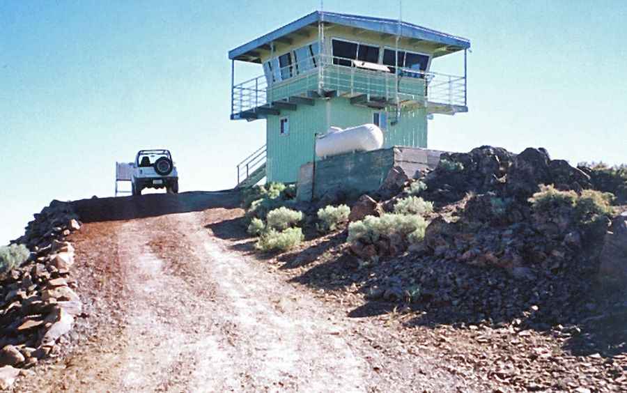
At the summit there’s a fire lookout tower. Peg Leg Mountain's lookout history dates back to 1913, when it was established by the Red River Lumber Company. Administration was later transferred to the Lassen National Forest in the 1920s, which built a new structure. Today, the site is owned by CAL FIRE, following the construction of their current building in 1984—believed to be the last lookout ever built by the agency. The Lassen National Forest occasionally staffs the station.
Is the road to Pegleg Mountain unpaved?
The rough road to the summit is totally unpaved, with rocky parts. It comprises narrow parts and very steep sections. A 4x4 vehicle is required.
How long is the road to Pegleg Mountain?
Starting from the paved CA-36, near Coppervale, the road to the summit is 11.74km (7.3 miles) long. Over this distance, the elevation gain is 568m (1,864 ft) and the average gradient is 4.83%.
Is the road to Pegleg Mountain open year-round?
Set high in the Cascade Range, the road is not plowed in winters.
Pic&more info: Fred Johnson. http://www.peakbagging.com/CALookoutPhotos/PeglegMtn.html