Hot to get by car to Kaibab Plateau in Arizona?
Kaibab Plateau is a high mountain plateau at an elevation of 2.817m (9,200ft) above sea level, located in Coconino County, in the U.S. state of Arizona. It's one of the highest roads of Arizona.
Where is Kaibab Plateau?
The plateau, also known as Buckskin Mountain, Buckskin Plateau, and Kaibab Mountain, is located in the northern part of Arizona, within the Kaibab National Forest.
Is the road to Kaibab Plateau unpaved?
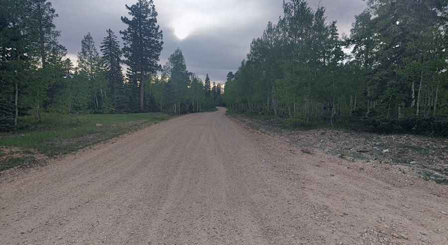
The road to the summit is totally unpaved. It’s called Forest Road 270. It features narrow parts and steep sections. A 4x4 vehicle is recommended. Along the way you can see abundant wildlife and it’s a good place to see bisons.
How long is the road to Kaibab Plateau?
The road through the plateau is 9.97km (6.2 miles) long, running north-south from Forest Road 22 to the paved AZ-67 road.
Is the road to Kaibab Plateau open year-round?
The road is totally impassable in winters as snowfalls are often heavy (sometimes exceeding 17 feet [5.2 m].
Pic: Eugene Mazz