An epic enthralling road to Mount Baldy in Apache County
Mount Baldy is an extinct volcano at an elevation of 3.408m (11,181ft) above sea level, located in Apache County, in the U.S. state of Arizona It's one of the highest roads in Arizona.
Where is Mount Baldy?
Mount Baldy is located in the northeastern corner of the state, within the Apache-Sitgreaves National Forests.
How long is the road to Mount Baldy in Apache County?
The road to the summit is totally unpaved. A 4x4 vehicle is required. The road is pretty steep, hitting a maximum gradient of 9% through some of the ramps. Starting at the paved AZ-273, the ascent is 15.7 km (9.75 miles) long. Over this distance the elevation gain is 648 meters. The average gradient is 4.12%.
Is Mount Baldy open?
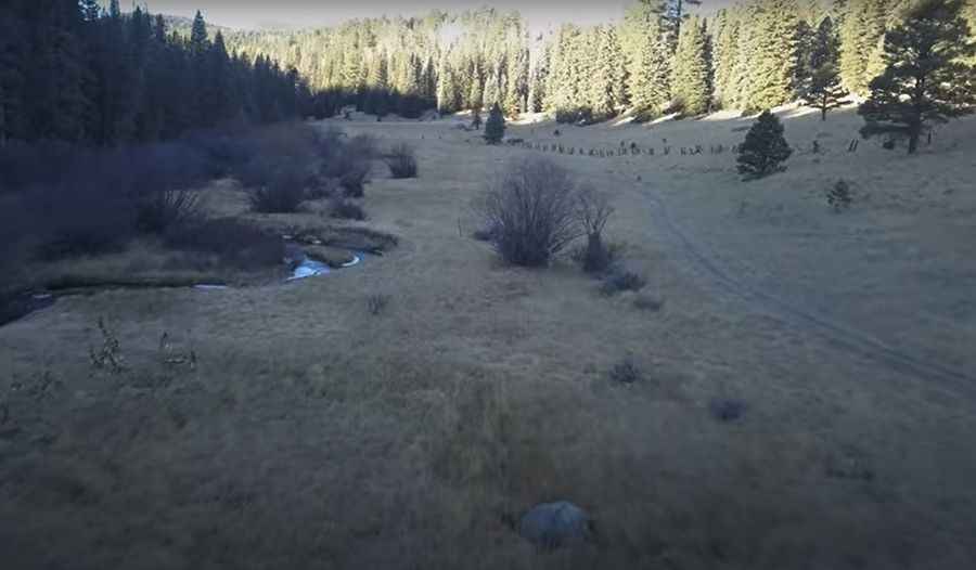
Set high in the White Mountains, it is not generally snow-free until late June or even July in some years. The top of the peak is on the eastern edge of the Fort Apache Indian Reservation and access is closed to non-tribal members.
Pic&video: Tim Toogood