A memorable road trip to McKays Peak in AZ
McKays Peak is a high mountain peak at an elevation of 2.793m (9,163ft) above the sea level, located in Navajo County, in the U.S. state of Arizona. It's one of the highest roads of Arizona.
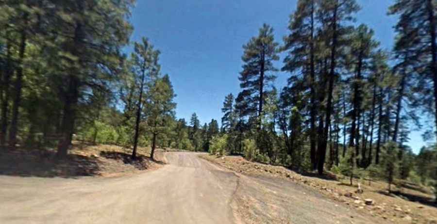
Set high in the northern part of the state, within the Fort Apache-White Mountain Indian Reservation, the road to the summit, also known as McKay Peak, is mostly unpaved. A 4x4 vehicle is required.
At the summit is a fire lookout tower built in 1932. Starting at the paved AZ-260, east of McNary, the road to the summit is 20.27km (12.6 miles) long. It’s a very steep drive, hitting a 14% of maximum gradient through some of the ramps.