How to drive the unpaved road to the lookout at Mount Davenport in New Mexico?
Mount Davenport is a high mountain peak at an elevation of 2.853m (9,360ft) above sea level, located in Catron County, in the U.S. state of New Mexico.
Where is Mount Davenport?
The peak is located south of Albuquerque, in the western part of New Mexico, within the Cibola National Forest.
Why is there a road to Mount Davenport?
At the summit there’s a fire lookout tower built in 1954.
Is the road to Mount Davenport unpaved?
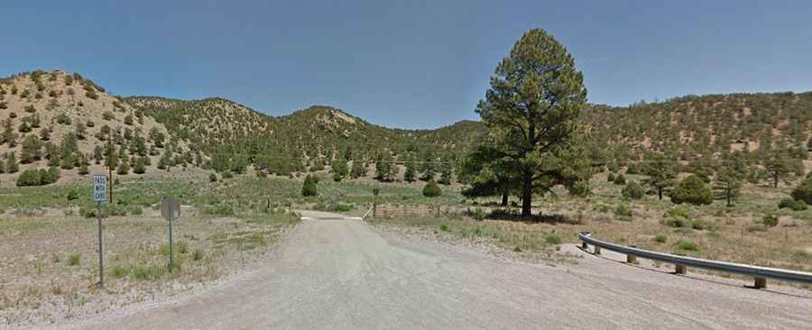
The road to the summit is totally unpaved. It’s called Forest Road 6. 4x4 definitely recommended. It’s one lane only. There are only a few spots to pass another vehicle so if you encounter someone else, then somebody is backing down this crazy step, rutted mountain road. It features 5 hairpin turns.
How long and steep is the road to Mount Davenport?
Starting from the paved US-60, the road to the summit is 7.72km (4.8 miles) long. Over this distance, the elevation gain is 441m (1,450 ft) and the average gradient is 5.71%.
Is the road to Mount Davenport open year-round?
Set high in the Datil Mountains, the road is not plowed in winters.