How to drive the unpaved road to Lookout Mountain in New Mexico
Lookout Mountain is a high mountain peak at an elevation of 2.707m (8,881ft) above sea level, located in Sierra County, in the U.S. state of New Mexico.
Where is Lookout Mountain?
The peak is located in the southwestern part of New Mexico, within the Gila National Forest.
Why is there a road to Lookout Mountain?
At the summit there’s a lookout tower. It was constructed in 1965 on the existing Aermotor tower.
Is the road to Lookout Mountain unpaved?
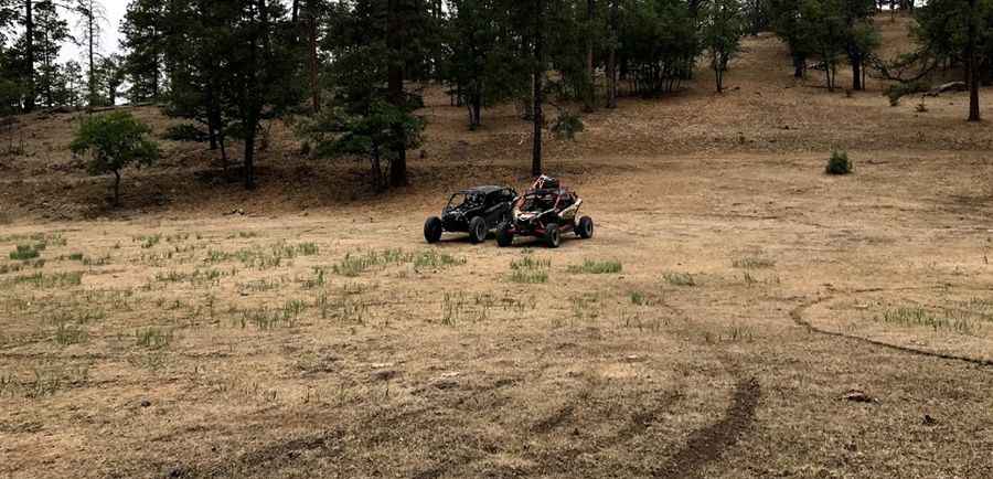
The road to the summit is totally unpaved. It’s called FS 226A (Lookout Mountain Road). The road is not to be taken lightly. Parts are somewhat treacherous and very narrow. It features 3 sharp hairpin turns near the end. 4x4 vehicles required.
How long is the road to Lookout Mountain?
Starting from Forest Service Road 226 (Taylor Peak Road), the road to the summit is 12.07km (7.5 miles) long. Over this distance, the elevation gain is 409m (1,345 ft) and the average gradient is 3.38%.
Is the road to Lookout Mountain open year-round?
Set high in the Black Range, the road is not plowed in winters.
Pic: Christopher Saenz