How to drive the unpaved road to Navajo Point in Utah
Navajo Point is a high mountain peak at an elevation of 3.188m (10,459ft) above sea level, located in Iron County, in the U.S. state of Utah.
Where is Navajo Point?
The peak is located in the southwestern part of Utah, within the Cedar Breaks National Monument.
Is the road to Navajo Point unpaved?
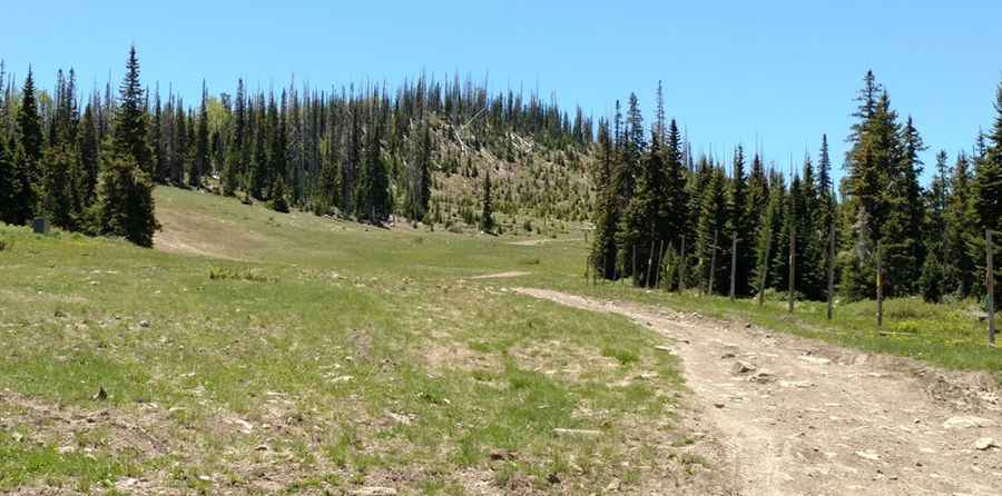
The road to the summit is totally unpaved. It’s called Forest Service Road 204 (Twisted Forest Road). A 4x4 vehicle is required.
How long is the road to Navajo Point?
Starting from the paved UT-143, the road to the summit is 1.60km (1.0 mile) long. Over this distance, the elevation gain is 92m (305 ft) and the average gradient is 5.75%.
Is the road to Navajo Point open year-round?
Set high in the Markagunt Plateau, the road is not plowed in winters. It’s impassable from November through May.
Pic: Mike Cartmill