How to drive the unpaved road to Clara Peak in New Mexico
Clara Peak is a high mountain peak at an elevation of 2.604m (8,544ft) above sea level, located in Rio Arriba County, in the U.S. state of New Mexico.
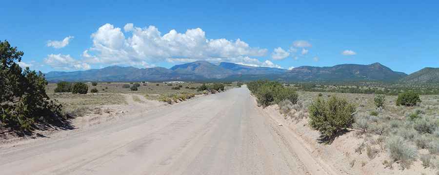
Where is Clara Peak?
The peak is located in the northern part of New Mexico, within the Santa Fe National Forest.
Why is there a road to Clara Peak?
The summit hosted a lookout built in 1951 and demolished by the Forest Service during the winter of 1993-1994.
Is the road to Clara Peak unpaved?
The road to the summit is totally unpaved. It features narrow parts and very steep sections. The road has washouts and ruts that most SUVs should be able to handle. About ¼ mile from the peak, the road becomes very rocky and steep and it is suggested that you park there and hike unless you have a rugged vehicle with good clearance and 4WD.
How long is the road to Clara Peak?
Starting from State Highway 565 (31 Miles Road), the road to the summit is 4.98km (3.1 miles) long. Over this distance, the elevation gain is 209m (686 ft) and the average gradient is 4.19%.
Is the road to Clara Peak open year-round?
Set high in the Jemez Mountains, the road is not plowed in winters.
Pic&more info: http://wanderlust.kgbudge.com/2018/09/09/losing-focus/