How to drive the unpaved road to the lookout at Mount Tom in California
Mount Tom is a fire observation point at an elevation of 2,751m (9,026ft) above sea level, located in Fresno County, in the US state of California.
Why is there a road to Mount Tom?
Situated within the Sierra National Forest, the summit features a historic fire lookout tower built by the CCC in 1934. It is an active facility during the fire season and is managed by the U.S. Forest Service. While the tower itself may be closed to the public or only accessible when staffed, the area around the summit offers a 360-degree view of the surrounding Sierra National Forest.
| Road facts: Mount Tom Lookout Road | |
|---|---|
| Elevation | 2,751m (9,026ft) |
| Location | Sierra National Forest (Near Bishop, CA) |
| Length | 4.2 km (2.6 miles) |
| Elevation Gain | 372 m |
| Average Gradient | 8.85% |
Is the road to Mount Tom unpaved?
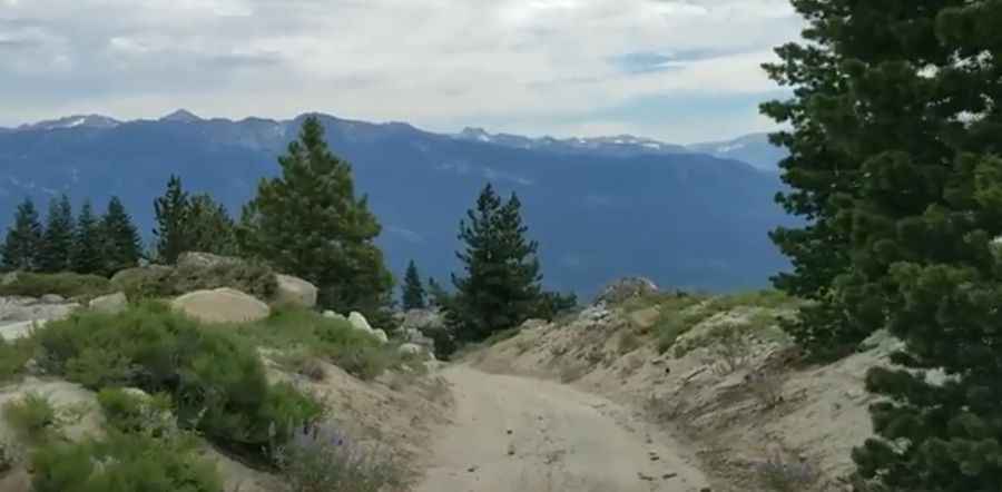
The road to the summit, known as Mount Tom Lookout Road, is a rough and rocky dirt access track. A high-clearance vehicle with 4-wheel drive is required to reach the top safely.
How long and steep is the road to Mount Tom?
The ascent begins at the Half Corral Trail. From this point, the road is 4.2 km long with an elevation gain of 372 meters. The average gradient is 8.85%. The surface is a mix of dirt and rocks, and the road is narrow, making it difficult for two vehicles to pass in most sections. Drivers should remain alert for oncoming traffic and use turnouts where available.
Is the Mount Tom fire lookout open in winters?
Due to the high elevation, the road remains closed throughout the winter months until the snow melts, usually in late June or early July. The road can be dusty during the summer, affecting visibility. It is essential to check the local weather forecast before departing, as thunderstorms are common in the Sierra Nevada and the summit is highly exposed to lightning.
Pic&video: Brent Westrick