Sacramento Peak: Driving the Forest 64 Road in New Mexico
At an elevation of 2,904m (9,529ft) above sea level, Sacramento Peak is a high mountain summit located in Otero County, New Mexico. Situated south of Cloudcroft within the Lincoln National Forest, the peak is a prominent point in the southern part of the state, housing critical observation infrastructure.
| Road facts: Sacramento Peak | |
|---|---|
| Location | Otero County, New Mexico, USA |
| Elevation | 2,904 m (9,529 ft) |
| Road Name | Forest 64 Road |
| Length | 9.6 km (6.0 miles) |
| Surface | Unpaved / Gravel |
How to reach the summit of Sacramento Peak?
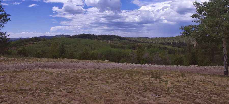
The ascent begins at the junction with the paved Sunspot Highway. From this point, the road to the summit, designated as Forest 64 Road, spans 6.0 miles (9.6 km). The track is entirely unpaved and follows a steep gradient through the high-altitude pine forest. While it is classified as an all-weather road, the surface features several rough spots with loose rock and washboard sections. A high-clearance vehicle is mandatory to navigate these irregularities safely.
Is the road to Sacramento Peak open in winter?
Due to the elevation of nearly 3,000 meters, the road is impassable during the winter months. Heavy snow accumulation and ice on the steep Forest 64 Road make it inaccessible for standard vehicles from late autumn until the spring thaw. Even during the summer, the summit is prone to high winds that can affect high-profile vehicles. When dry, the road offers good traction, but during the monsoon season (July-August), the dirt sections can become slippery, requiring 4WD to maintain control on the climbs.
What is at the summit of Sacramento Peak?
The summit is home to an active lookout tower. The current structure was erected in 1968, replacing an original 1925 Aermotor LX-24 tower that was destroyed by fire in 1967. From the lookout, visibility extends across southern New Mexico and, on clear days, across the international border into Mexico. The area is also known for its proximity to the Sunspot Solar Observatory, highlighting the exceptional atmospheric clarity of the Sacramento Mountains.
What are the main hazards on Forest 64 Road?
The primary hazards are narrow passages and steep drops without safety barriers. Meeting oncoming traffic requires using the few available pull-outs, which can be difficult on the steeper sections of the trail. Additionally, the rapid change in weather at 2,900 meters means drivers should monitor the sky; lightning strikes are a frequent risk at the summit. Ensure your vehicle’s cooling system is in good condition, as the sustained climb in the thin air of the Lincoln National Forest puts additional stress on the engine.
Pic&more info: http://southernnewmexicoexplorer.blogspot.com/2014/07/sacramento-lookout-lincoln-national.html