How to drive the unpaved road to the lookout at Kiowa Mountain in New Mexico
Kiowa Mountain is a high mountain peak at an elevation of 2.967m (9,734ft) above sea level, located in Rio Arriba County, in the U.S. state of New Mexico.
Where is Kiowa Mountain?
The peak is located south of Tres Piedras, in the northern part of New Mexico, within the Carson National Forest.
Why is there a road to Kiowa Mountain?
At the summit there’s a lookout tower. The base cabin was built by the CCC in 1935 and the tower is still in active use.
Is the road to Kiowa Mountain unpaved?
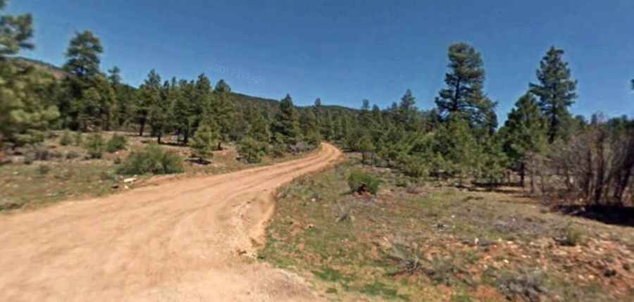
The road to the summit is totally unpaved, with a few rocky parts. It’s called Forest Road 110A. It should be easily completed by the most high-clearance AWD and stock 4WD vehicles.
How long is the road to Kiowa Mountain?
Starting from Forest Road 45, the road to the summit is 2.57km (1.6 miles) long. Over this distance, the elevation gain is 217m (712 ft) and the average gradient is 8.44%.
Is the road to Kiowa Mountain open year-round?
Set high in the Sangre de Cristo Mountains, the road is not plowed in winters. Expect the trail to be very muddy after rain or snow melt.