How to drive the unpaved road to Cerro Saragate in New Mexico
Cerro Saragate is a high mountain pass at an elevation of 3.151m (10,337ft) above sea level, located in Rio Arriba County, in the U.S. state of New Mexico. It’s one of the highest roads of New Mexico.
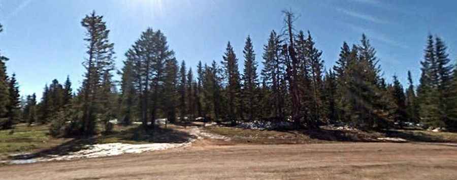
Where is Cerro Saragate?
The peak is located east of Tierra Amarilla, in the northern part of New Mexico, within the Carson National Forest.
Is the road to Cerro Saragate unpaved?
The narrow road to the summit is totally unpaved, with rocky parts. It features many turns and steep sections. A 4x4 vehicle is required.
How long is the road to Cerro Saragate?
Starting from the paved US-64, the road to the summit is 8.52km (5.3 miles) long.
Is the road to Cerro Saragate open year-round?
Set high in the Tusas Mountains, the road is not plowed in winters. It’s usually impassable from November through June due to the heavy snowfalls in the area.