Is the Forest Road 91B to Burned Mountain in New Mexico difficult?
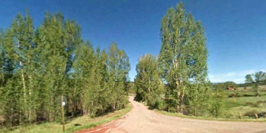
Burned Mountain is a high-altitude peak reaching an elevation of 3,048m (10,000ft) above sea level in Rio Arriba County, New Mexico. Located in the northern part of the state, the road to the summit is one of the highest mountain roads of New Mexico. Accessing the peak requires driving along Forest Road 91B, a rugged mountain path that quickly leaves the comfort of the main highways to climb through dense forests and exposed ridges where the thin air and the steep terrain test both the vehicle and the driver.
| Road facts: Burned Mountain | |
|---|---|
| Location | Rio Arriba County, New Mexico (USA) |
| Elevation | 3,048m (10,000ft) |
| Length | 5.14 km (3.2 miles) from US-64 |
| Max Gradient | 9% |
| Surface | Unpaved / Forest Dirt / Rocks |
How long is the Forest Road 91B to Burned Mountain?
The ascent begins as you turn off the paved US-64 and covers a distance of 5.14 km (3.2 miles) to reach the summit. While the distance is relatively short, the transition from a major highway to a backcountry forest road is abrupt. The track is narrow and winds through the high-elevation terrain of northern New Mexico, offering no facilities or assistance. At 3,000 meters, the weather can shift in minutes, turning an easy morning climb into a technical challenge where visibility drops and the ground becomes unpredictable.
What are the road conditions on Burned Mountain?
The surface of Forest Road 91B is entirely unpaved and consists of a mix of hard-packed earth and loose mountain rocks. The climb is notably steep, with several ramps hitting a 9% gradient. On this type of dirt surface, a 9% incline is enough to cause significant traction issues for vehicles without 4WD, especially after a rainstorm. The road has deep ruts carved by runoff and large stones that have surfaced over time, requiring a high-clearance vehicle to avoid damaging the undercarriage or the oil pan on the way up.
Why is a 4x4 mandatory for Burned Mountain?
Attempting to reach the 3,048m summit without a 4x4 is a risk not worth taking. The combination of the 9% gradient and the loose, unmaintained surface means that standard cars will likely lose traction or get stuck in the deeper ruts. High ground clearance is essential to navigate the washouts that frequently occur after mountain storms. Furthermore, the thin air at this altitude reduces engine power, making the steep climbs feel even more taxing on the vehicle's torque. A low-range gearbox is helpful for the descent to manage speed without overheating the brakes on the loose forest soil.
Is the road to Burned Mountain open in winter?
The road is completely impassable during the winter months. Due to its high elevation in the Rio Arriba mountains, Burned Mountain is buried under heavy snow from late autumn until late spring. Forest Road 91B is not plowed, and the steep sections become a sheet of ice under the snowpack. Even in late spring, the ground can remain saturated and muddy, making the track a bottomless trap for heavy vehicles. The best window to drive to the summit is from mid-summer to early autumn, though you must always be alert for sudden afternoon thunderstorms that can wash out parts of the track in minutes.