How to drive the Forest Road 91B to Burned Mountain in New Mexico?
Burned Mountain is a high pass at an elevation of 3,048m (10,000ft) above sea level located in Rio Arriba County, in the US state of New Mexico. It is the highest roads of New Mexico.
| Road facts: Burned Mountain (FR 91B) | |
|---|---|
| Location | Rio Arriba County, New Mexico (USA) |
| Elevation | 3,048 m (10,000 ft) |
| Length | 5.14 km (3.2 miles) from US-64 |
| Max Gradient | 9% |
Where is Burned Mountain?
The pass is located west of Tres Piedras, in the northern part of New Mexico.
How long is the road to Burned Mountain?
The road to the summit is 5.14 km (3.2 miles) long, starting from the paved US-64. A 4x4 vehicle is required.
Is the road to Burned Mountain unpaved?
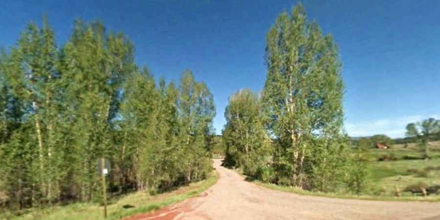
The road is totally unpaved with hard-packed forest dirt mixed with large, loose rocks that have been washed out of the soil. It’s called Forest Road 91B. The track is narrow and steep, with several sections hitting a 9% gradient. There are no guardrails on the exposed ridge sections, and the road is often only wide enough for one vehicle.
Is the road to Burned Mountain open year-round?
The road is buried under heavy snow from late October until late spring and is never plowed. Sudden afternoon thunderstorms are common and can turn the dirt sections into slippery mud in minutes.
When is the best time to drive to Burned Mountain?
The best window for reaching the top is from July to September, but you must still watch for localized washouts that can leave the road impassable.