How to drive the unpaved road to Ortiz Peak in New Mexico
Ortiz Peak is a high mountain peak at an elevation of 3.423m (11,230ft) above sea level, located in Taos County, in the U.S. state of New Mexico. It’s one of the highest roads of New Mexico.
Where is Ortiz Peak?
The peak is located north of Red River, in the northern part of New Mexico, within the Carson National Forest.
Is the road to Ortiz Peak unpaved?
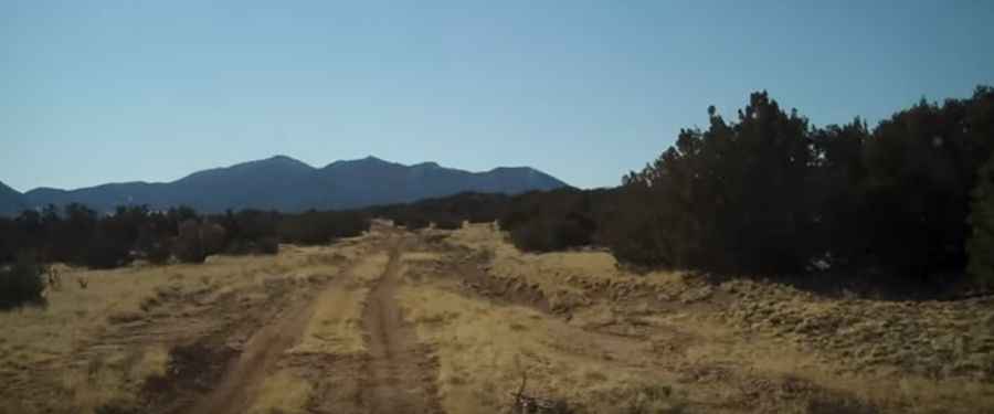
The rough road to the summit is totally unpaved. A 4x4 vehicle is required. It’s steep, it features narrow parts, and it has some washed out parts.
How long is the road to Ortiz Peak?
Starting from Lagunita Saddle, the road to the summit is about 7km long.
Is the road to Ortiz Peak open year-round?
Set high in the Sangre de Cristo Mountains, the road is not plowed in winters. It’s usually impassable from October through June.
Pic: privatewaternm