How to drive the unpaved road to Cerro del Oso in New Mexico
Cerro del Oso is a high mountain peak at an elevation of 3.261m (10,698ft) above sea level, located in Taos County, in the U.S. state of New Mexico. It’s one of the highest roads of New Mexico.
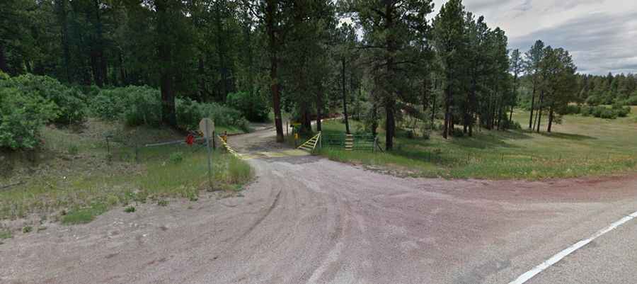
Where is Cerro del Oso?
The peak is located north of Angostura, in the northern part of New Mexico, within the Carson National Forest.
Is the road to Cerro del Oso unpaved?
The road to the summit is totally unpaved, gravel and rocky. It’s called Forest Service Road 442, also known as Gallegos Road. A 4x4 vehicle is required.
How long is the road to Cerro del Oso?
Starting from the paved NM-518, the road to the summit is 12.23km (7.6 miles) long. Over this distance, the elevation gain is 587m (1,926 ft) and the average gradient is 4.79%.
Is the road to Cerro del Oso open year-round?
Set high in the Sangre de Cristo Mountains, the road is not plowed in winters.