Brazos Summit in New Mexico: The Ultimate Road Trip Guide
Brazos Summit is a high mountain pass at an elevation of 3,209m (10,528ft) above sea level, located in northern Rio Arriba County, in the U.S. state of New Mexico. It’s one of the highest roads in New Mexico.
Is Brazos Summit in NM paved?
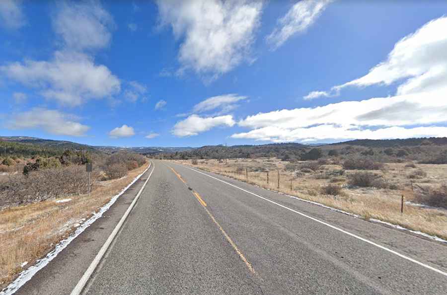
Tucked away in Carson National Forest, the road to the summit is completely paved. It’s called U.S. Route 64 (US 64).
Is Brazos Summit in NM challenging?
Built in 1926, there is only one highway that runs at a higher altitude in the whole state: NM-536 (Sandia Crest Scenic Byway). The driving is easy. No hairpin bends or high drop-offs here. The road is steep, reaching a maximum gradient of 7% through some of the ramps.
How long is Brazos Summit in NM?
Set high in the San Juan Range of the Rocky Mountains, sometimes called the Tusas Mountains, the pass is 77.73km (48.3 miles) long, running west-east from Tierra Amarilla to Tres Piedras.
How long does it take to drive Brazos Summit in NM?
Plan about 1 hour to complete the drive without any stops. However, the drive will take longer because it’s considered one of the best scenic drives in northern New Mexico. Anyone searching for solitude and mountain views will love this scenic route.
When is the best time to drive through Brazos Summit in NM?
Along the way, it passes some of the most extensive groves of aspens in the state, making the drive ideal in late September and early October. This is a good drive to take in summer when you want to escape the heat. Come fall, the aspens blaze like yellow flames across the landscape, making the scenery startlingly beautiful.
Road suggested by Scott Hebner