How to drive the 4x4 road to Duck Creek Point in Idaho?
Duck Creek Point is a mountain peak at an elevation of 2,515m (8,251ft) above sea level located in Lemhi County, in the US state of Idaho.
| Road facts: Duck Creek Point (FSR 110) | |
|---|---|
| Location | Lemhi County, Idaho (USA) |
| Elevation | 2,515 m (8,251 ft) |
| Length | 15.8 miles (25.4 km) |
| Elevation Gain | 968 m (3,176 ft) |
Where is Duck Creek Point?
The peak is located west of Salmon, in the northern part of Idaho, within the Salmon-Challis National Forest.
Why is there a road to Duck Creek Point?
At the summit there’s a fire lookout, built in 1935. No longer staffed, it received a new roof in 2004.
Is the road to Duck Creek Point unpaved?
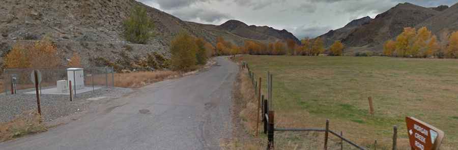
The road to the summit is totally unpaved. It’s called Forest Service Road 110, also known as Duck Peak Road. It is a primitive forest track with coarse gravel, loose dirt, and sections with sharp, embedded rocks. While the average gradient is 3.8%, there are several steep ramps.
How long is the road to Duck Creek Point?
The road is 25.4 km long starting from Forney. Deep ruts and washouts are constant, and a high-clearance 4x4 is required. Watch out for sharp stones that are notorious for puncturing tires in this part of Lemhi County.
Is the road to Duck Creek Point open year-round?
This part of Idaho gets hit with massive snowpacks that bury the FSR 110 from late October until late June. The road is never plowed. Even in early July, you might encounter massive snowdrifts in the shaded corners that are impassable for wheeled vehicles. Always check the local forest reports before heading in. The track winds through dense timber where fallen trees frequently block the path, especially after a windstorm.