How to drive the remote road to Red Rock Peak in Idaho
Red Rock Peak is a high mountain peak at an elevation of 2,485 meters (8,152 ft) above sea level, located in Lemhi County, in the US state of Idaho.
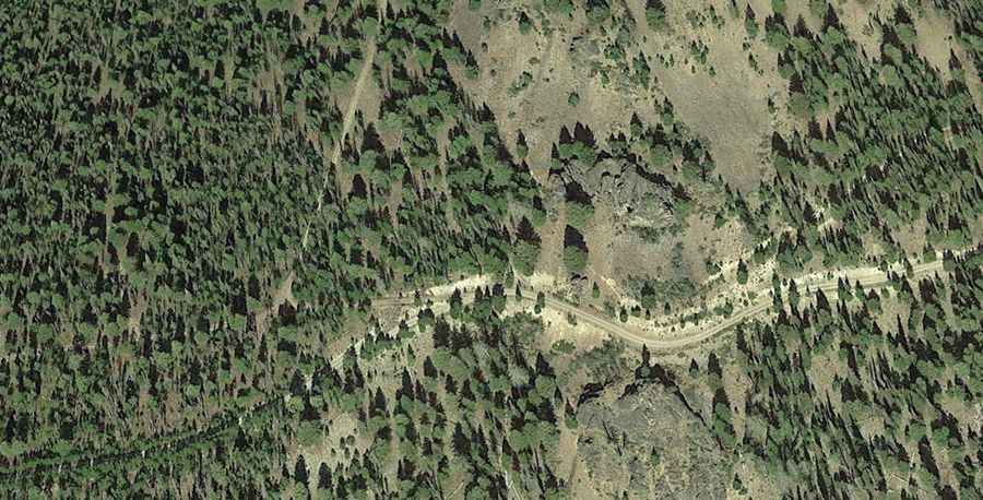
| Road facts: Red Rock Peak | |
|---|---|
| Location | Lemhi County, Idaho (USA) |
| Elevation | 2,485 m (8,152 ft) |
| Road Name | Duck Peak Road (FS Road 110) |
| Distance from Salmon | 72 km (45 miles) |
| Surface | Unpaved (Gravel, dirt ruts, and loose rock) |
Where is Red Rock Peak?
The peak is located in the isolated Yellowjacket Country within the Salmon-Challis National Forest.
Why is there a road to Red Rock Peak?
The summit was used for fire detection starting in the early 1920s, when smokechasers lived in tents on the peak to monitor the Fourth of July Creek drainage. In 1933, the forest service built a permanent wooden lookout cabin on the peak. Lookouts stationed here reported more fire sightings than almost any other post in the forest during the 1930s. The structure was abandoned and burned down in the 1950s.
How long is the road to Red Rock Peak?
The road to the summit is 70km long, starting from the town of Salmon.
Is the road to Red Rock Peak unpaved?
The final approach to the summit follows Duck Peak Road (Forest Service Road 110). The road is totally unpaved, with deep ruts, sharp rocks, and loose gravel sections that require a high-clearance 4x4 vehicle.
Is the road to Red Rock Peak open year-round?
Deep snow pack blocks the entire mountain track from late October until July. At an altitude of 2,485 meters, the road receives no winter plowing, and snow drifts bury the lane completely. The driving window is restricted to July, August, and September.