Mount Emerine: Driving the 30 hairpins to the historic Sapphire Mountains lookout
Mount Emerine is a high mountain peak at an elevation of 2,631m (8,631ft) above sea level, located in Granite County, Montana. Situated within the Beaverhead-Deerlodge National Forest, the drive to the summit is one of the most technical and scenic climbs in the Sapphire Mountains, offering a mix of high-altitude challenge and historical intrigue.
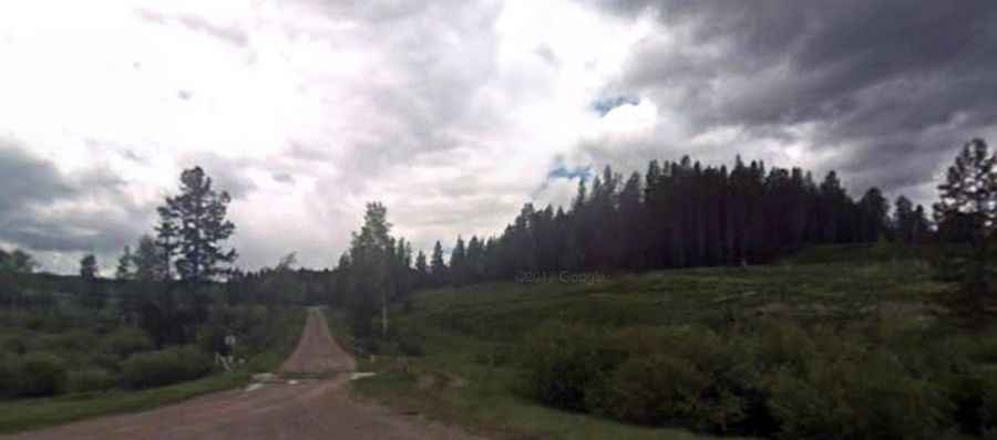
The road to the summit is a rugged mountain track consisting of gravel and loose rocks. Due to its steepness and the high number of tight corners, a 4x4 vehicle is mandatory. The route is highly seasonal and remains impassable during the winter months when heavy snow blankets the higher elevations of Montana.
| Road facts: Mount Emerine | |
|---|---|
| Elevation | 2,631m (8,631ft) |
| Length | 16.7 km (10.3 miles) |
| Elevation Gain | 967 m |
| Average Gradient | 5.79% |
| Special Features | 30 Hairpin Turns |
How is the drive from Skalkaho Road?
The ascent begins at Skalkaho Road and winds its way up the mountainside for 16.7 km. While the average gradient is a manageable 5.79%, the road is notorious for its complexity, featuring 30 sharp hairpin turns that test the maneuverability of any vehicle. The track is steep and "tippy" in parts, making it unsuitable for those with a fear of heights or inexperienced in off-road mountain driving.
The Fire Lookout History of Mount Emerine
Reaching the summit is not only about the drive but also about the history of fire detection in Montana. The site originally hosted a pole platform tower and a log cabin built in the 1920s. These early structures were replaced in 1932 by a 20-foot L-4 tower, which in turn was replaced in 1964 by an R-6 flat tower built by Driggs Construction of Anaconda. Although the tower was eventually removed, the original log cabin still remains at the summit, standing as a testament to the forest rangers who once monitored these vast mountains.
Preparation and Safety
Because of its isolation within the Deerlodge National Forest, travelers must be fully prepared. There are no services at the summit or along the trail. High clearance and low-range gears are highly recommended to navigate the rocky surface safely. Before heading out, always check the status of the forest roads, as the area can be prone to washouts after heavy rain or late-season snowmelt.