Road to Beaver Mountain: A 4x4 Track in Dolores County
Beaver Mountain is a mountain peak at an elevation of 2,837 meters (9,307 ft) above sea level, located in Dolores County, in the southwestern corner of Colorado, USA. Tucked inside the San Juan National Forest, the route leading up the mountain is an unmaintained single-lane dirt track packed with soft clay soil, deep ruts, and sharp fallen timber hazards.
| Road facts: Beaver Mountain (Dolores County) | |
|---|---|
| Location | Dolores County, Southwestern Colorado, USA |
| Elevation | 2,837 m (9,307 ft) |
| Length | 3.1 km (1.9 miles) from Forest Road 526 |
| Surface | Unpaved / Rough forest dirt |
| Vehicle Required | High-clearance 4x4 |
How rough is the dirt track to Beaver Mountain?
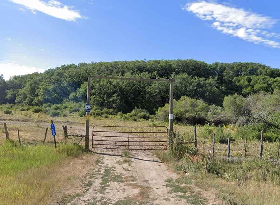
The unpaved forest route starts directly at the junction with the Forest Service Road 526. From the turn-off, the dirt track climbs for 3.1 kilometers along the steep mountain slopes. The surface is entirely unpaved, narrow, and unmaintained, consisting of loose soil and rough forest gravel. Motorized vehicles are stopped by an iron gate at the beginning of the climb. The lane is tightly hemmed in by dense timberline forest, meaning the ground receives very little sunlight and stays soft, unstable, and deeply rutted long after rainstorms or spring snowmelts, forcing 4x4 trucks to run in low gears to avoid sinking into the mud patches.
Can you drive a vehicle to the actual peak of Beaver Mountain?
The drivable track terminates before reaching the actual mountain summit. The final 785 meters of the route shrink and transition into a steep, narrow mule path. This top segment is completely blocked to motorized traffic by heavy rocks and thick vegetation, requiring a foot hike to clear the final incline. Unlike the open peaks of northern Colorado, the top of this mountain in Dolores County is entirely covered by a thick pine canopy that blocks visibility, providing only fragmented views of the surrounding San Juan Mountains through the tree branches.
What weather and clearing hazards block the Beaver Mountain road?
Due to its altitude and deep forest shading, the track is buried under thick snowbanks from late autumn until late spring, keeping the route completely impassable for standard trucks. During the short summer window, sudden mountain storms turn the dry dirt into a slick clay trench that eliminates tire traction. Because this is a secondary forest path, regional rangers perform zero maintenance; spring thaws and heavy winds constantly bring down heavy pine trees across the lane, forcing drivers to manually clear logs or execute tight reverse maneuvers on narrow shoulders next to steep forest drops where there is zero mobile phone signal.