How to drive the unpaved road to the lookout at Sheep Mountain in Wyoming
Sheep Mountain is a high mountain peak at an elevation of 2.912m (9,553ft) above sea level, located in Johnson County, in the U.S. state of Wyoming.
Where is Sheep Mountain?
The peak is located in the northern part of Wyoming, within the Bighorn National Forest.
Why is there a road to Sheep Mountain?
At the summit there’s a lookout tower. Constructed in 1950 atop Sheep Mountain, the lookout was historically occupied as a fire lookout until the early 1970s.
Is the road to Sheep Mountain unpaved?
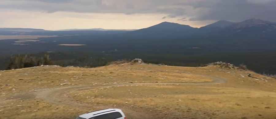
The road to the summit is totally unpaved. It’s called Merle Creek Road (Forest Road 28). There are no harrowing turns or dropping cliffs. It is just a nice drive. It’s impassable in winters.
Can I drive my vehicle to Sheep Mountain?
It’s a single lane gravel road passable by most vehicles during dry summer days. However, due to sudden changes in weather conditions, it is recommended to have a 4-wheel drive vehicle.
How long is the road to Sheep Mountain?
Starting from the paved US-16, the road to the summit is 8.69km (5.4 miles) long. Over this distance, the elevation gain is 302m (991ft) and the average gradient is 3.47%.
Pic&video: Amy Moore