How to drive the scenic backcountry road to Zenobia Peak in Colorado?
Zenobia Peak is a high mountain peak at an elevation of 2.745m (9,006ft) above sea level, located in Moffatt County, in the U.S. state of Colorado.
Where is Zenobia Peak?
The peak is located in the remote northwest corner of Colorado, within the Dinosaur National Monument.
Why is there a road to Zenobia Peak?
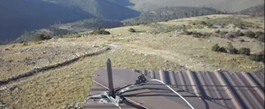
At the summit there’s a lookout tower built in 1964. The summit has a commanding view of the region.
Is the road to Zenobia Peak unpaved?
The road to the summit is totally unpaved, rough and rocky in parts. It’s called Douglas Mountain Boulevard (County Road 60). The road is not suitable for passenger vehicles. 4x4 vehicles only.
How long is the road to Zenobia Peak?
The road is steep, hitting an 18% of maximum gradient through some of the ramps. Starting at County Road 10, the ascent is 22.69km (14.1 miles) long. Over this distance the elevation gain is 680 meters. The road goes all the way to the top, though the last part of the road is gated.
Is the road to Zenobia Peak open in winter?
Set high in the Uinta Mountains, the road is not maintained in the winter.
Pic: zeekzilch