How to drive the unpaved road to Jordan Peak in California?
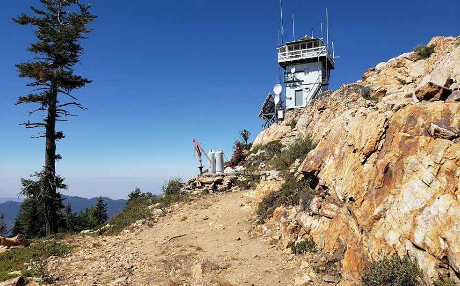
Jordan Peak is a high mountain peak at an elevation of 2.619m (8,592ft) above sea level, located in Tulare County, in the U.S. state of California.
Where is Jordan Peak?
The peak is located north of Springville, in the central part of California within the Sequoia National Forest.
Why is there a road to Jordan Peak?
The summit hosted a lookout tower built in 1934. It had the distinction of being one of the highest lookouts in California. It also affords one of the most dramatic 360-degree views the region has to offer. The lookout burned down on Monday, September 14, 2020 due to the SQF Complex Fire.
Is the road to Jordan Peak unpaved?
The road to the summit is totally unpaved, narrow and steep. It’s called Forest Route 20S71. A 4x4 vehicle is recommended.
How long is the road to Jordan Peak?
Starting from the paved CA-190, the road to the summit is 13.84km (8.6 miles) long. Over this distance, the elevation gain is 544m (1,788 ft) and the average gradient is 3.93%.
Is the road to Jordan Peak open year-round?
Set high in the Sierra Nevada, the road is not plowed in winters. It can be closed anytime due to heavy snowfalls.
Pic: Jesse Johnson