Road Trip Guide: Conquering Babbitt Peak in California
Babbitt Peak is a high mountain peak at an elevation of 2,664m (8,740ft) above sea level, located in Sierra County, in the US state of California.
Where Is Babbitt Peak?
The peak is located in the northern part of California, near the Nevada border, within the Tahoe National Forest, approximately 7 miles north of the Stampede Reservoir.
What’s at the Summit of Babbitt Peak?
At the summit, there’s a lookout built in 1937, usually staffed during the fire season. It offers stunning views of the Northern Sierra Nevada forest to the west and desert landscapes to the east. You can see Davis Lake, Stampede Reservoir, Cold Springs, Nevada, Crystal Peak, and more.
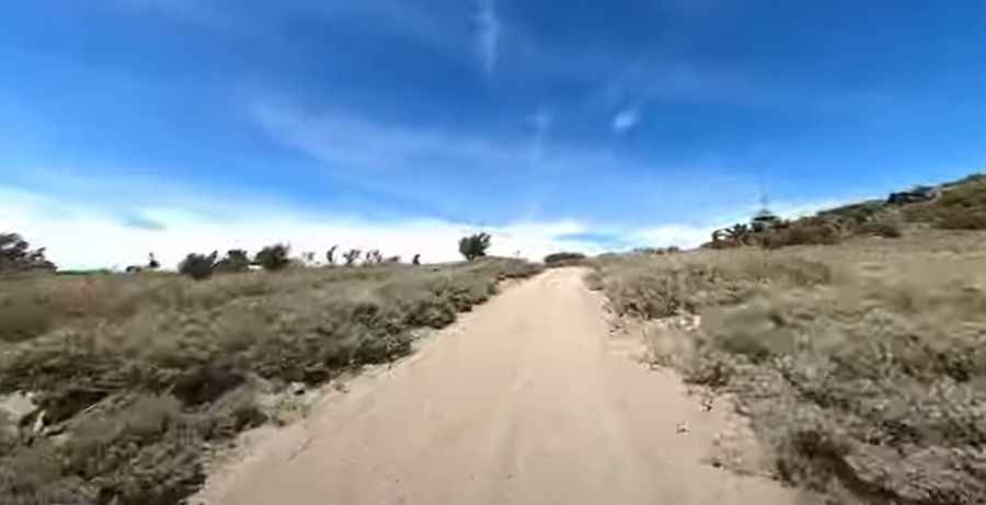
Is the Road to Babbitt Peak Unpaved?
The road to the summit is entirely unpaved. It’s called Babbitt Peak Road. The dirt road is well-maintained and doable for a 2WD vehicle, but a high-clearance vehicle is recommended.
How Long Is the Road to Babbitt Peak?
The road is pretty steep. Starting at County Road S860 (Smithneck Road), the ascent is 9.65km (6.0 miles) long, with an elevation gain of 753 meters. The average gradient is 7.8%, hitting a maximum gradient of 13.1% through some of the ramps.
Is the Road to Babbitt Peak Open in Winter?
Set high on the northern edge of the Sierra Nevada, the road to the summit is completely impassable in winter (typically December–April).
Pic&video: Jay Hayden